"Spatial information fits into almost every industry!"
Why did you study environmental management?
The variety of subjects I was able to choose from were fantastic – from doing a week-long outback ecology fieldtrip in central Queensland, to learning about cleaner production techniques in industry. It was all relevant and allowed me to see how environmental management can be used in so many different fields.
What was the best part of your time at UQ?
In my second year at UQ, I was enrolled in my first remote sensing class. The lecturer emailed us with an advertised position for a Cadet Spatial Information Officer with the Queensland Department of Natural Resources and Mines (DNRM). It was a full time paid position with the extra bonus of all your HECs fees being paid for. I applied for the position, was hired and delved into the industry.
I found it challenging, interesting and a bit of a niche market that not many people seemed to be aware of at the time. Working for DNRM I was creating and maintaining spatial data and systems, and moving into the private sector as a consultant, I was then using and analysing that data in completely new ways.
What does a typical day in your job look like?
In my current role I work on a variety of projects within the Buildings and Infrastructure team. Some tasks I complete are:
- generating mapping for reports and field work
- setting up and maintaining online web services to provide access to critical data to the whole project team
- analysing and critically assessing spatial data for design purposes and for government submissions, such as environmental impact assessments
- providing technical advice to internal and external clients and looking for innovative and improved methods and technologies to improve the way we work.
I also liaise with project teams and attend meetings to discuss potential project proposals; provide quotes for my time; liaise with third party contractors for the purchase of aerial and satellite imagery and spatial data; and work to maintain the integrity of our spatial data and systems.
What do you enjoy most about your job?
I enjoy the variety of work, and learning new things with every project.
Working across a range of industries and projects I have learnt aspects of water, power and civil engineering in relation to pipeline design, construction and maintenance; I have gained an understanding of environmental impact assessments and landholder consultation in regards to coal seam gas, mine closures, roads design and construction; and I’ve used spatial analysis and remote sensing for site selection and environmental monitoring. And that’s just to name a few.
Finding the best way to utilise spatial information and using new and improved technologies to deliver projects is exciting and rewarding.
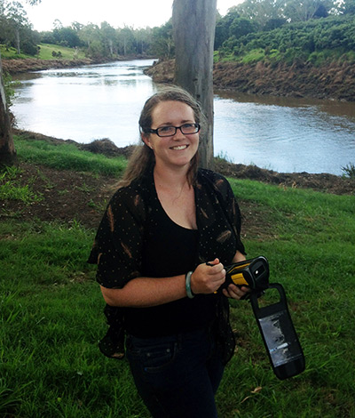
Angela Marsh
Job title
Spatial Consultant, Jacobs Australia
Qualification
Bachelor of Environmental Management (Honours) (Sustainable Development)
Profile published 2016